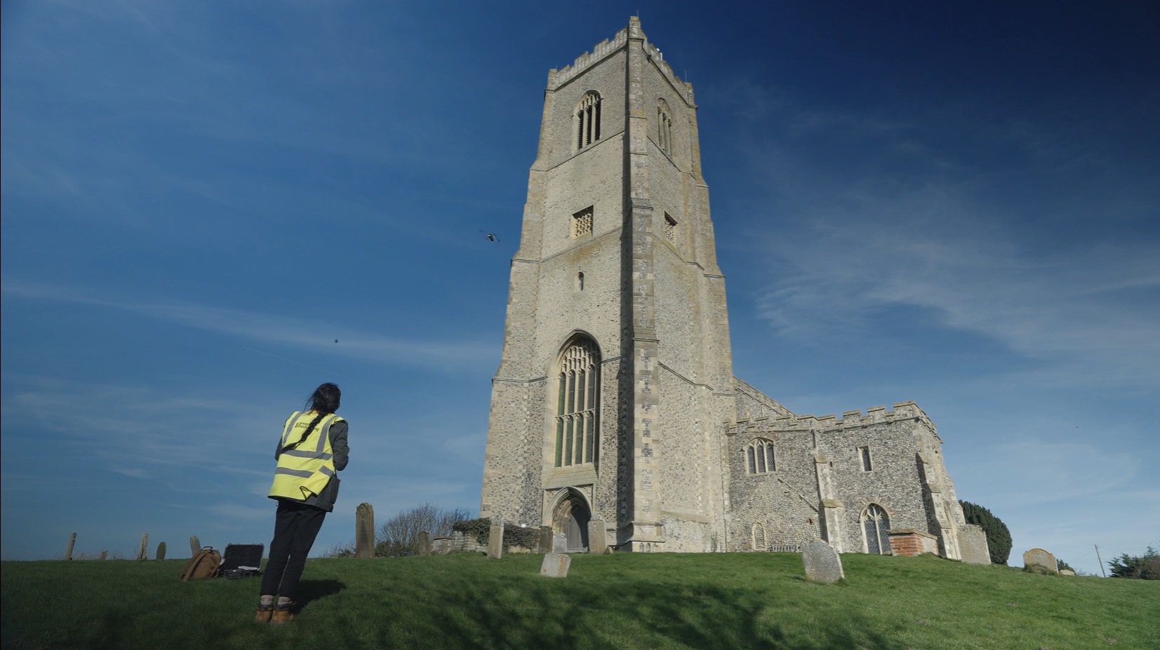
Archaeologists and local residents have created a detailed record of St Mary the Virgin in Happisburgh, Norfolk, as severe coastal erosion threatens the Grade I listed church and its churchyard. The site stands on a cliff top roughly 80 metres from the North Sea, and the erosion could claim it within decades.
North Norfolk District Council commissioned Wessex Archaeology to lead the community recording project. The work combined laser scanning and 3D photography of the church’s interior and exterior, producing digital models of the building and selected features. The resulting videos and 3D visualisations are intended to remain freely available to the community.
The project also documented the memories and stories connected with the church, which has been central to the local community for more than 600 years. Schoolchildren took part by learning archaeological recording techniques, using cameras and capturing local memories alongside the specialists’ surveys.
St Mary the Virgin dates to the 14th century, although the building has changed substantially since its foundation. Among the surviving medieval elements is a 15th-century font. Major redevelopment took place during the 19th century, while the church was also damaged during the Second World War. Pieces of shrapnel remain embedded in several pillars.
The churchyard contains additional historical evidence, including a grave commemorating 119 crew members lost when HMS Invincible sank off the nearby coast in 1801 while travelling to join Admiral Lord Nelson’s fleet.
Wessex Archaeology technical manager Tori Wilkinson said archaeology can help coastal communities respond to the threat posed to heritage sites by more frequent and severe storms. In this project, digital recording and community storytelling are being used to preserve access to the church’s architecture, history and personal associations even if the physical site is eventually lost to the sea.