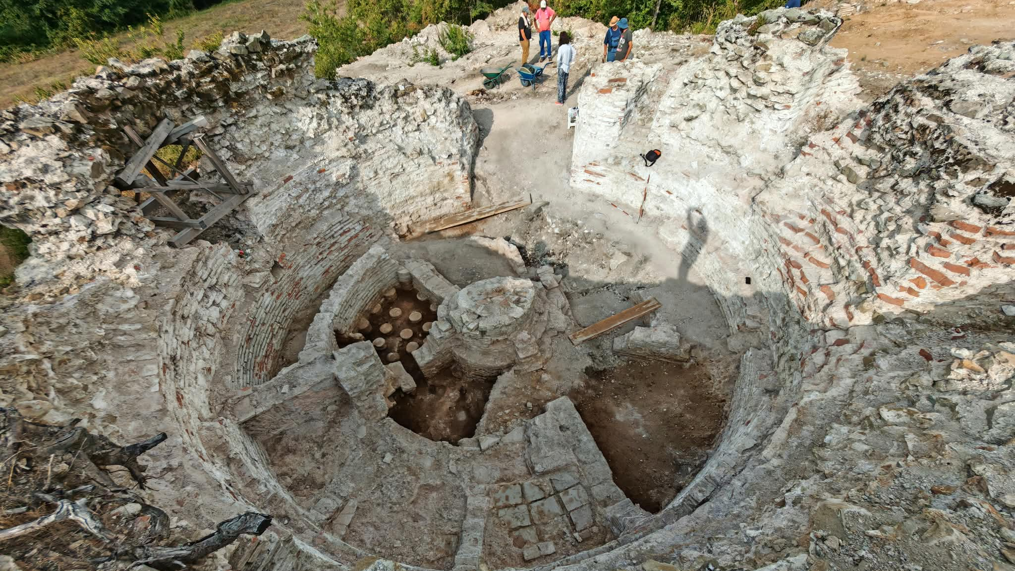

Researchers from the University of Udine have produced a high-resolution map of the lower city surrounding Nimrud’s acropolis mound in northern Iraq, documenting an area of more than 800 acres. The mapped zone was once enclosed by nearly five miles of defensive walls and contained most of the ancient city’s population.
The work forms part of the Nimrud Lower Town Archaeological Project, led by Daniele Morandi Bonacossi and Francesca Simi. The project is intended to reconstruct the daily lives of merchants, artisans, and other non-elite residents of the Assyrian Empire, according to Archaeology Magazine, which cited reporting by La Brújula Verde.
The researchers began by examining declassified satellite imagery. The images indicated that the lower city retained traces of walls, gates, streets, and residential districts. They then used a differential global positioning system and a drone to create a digital terrain model of the area.
A walking survey followed, during which the team collected and mapped visible pottery fragments across the city. The combined evidence was used to study how settlement was distributed from the third millennium B.C. through the Islamic period.
In several parts of the lower city, geophysical surveys provided further evidence of streets, neighborhoods, large building complexes, walls, kilns, and pits. These results support the interpretation of a complex urban landscape extending beyond the acropolis, although the findings remain subject to verification through excavation.
The project team plans to conduct additional geophysical surveys and test the results with archaeological excavations. Those future investigations are expected to help clarify the nature and chronology of the structures identified through remote sensing, surface survey, and geophysical methods.