Archaeology.Today
Field Report

LiDAR Study Finds Ancient Maya Land Use Still Shapes Belize Forests

A study of LiDAR data from northern Belize has identified links between forest structure and ancient Maya canals, settlements, buildings, and upland walls. The strongest relationship appeared around former wetland agricultural fields, although researchers say broader surveys are needed to determine how widely the pattern extends.

September 1, 2026
1 Source
Wari Camp
LiDAR Study Finds Ancient Maya Land Use Still Shapes Belize Forests
The Story

Forests in Belize that appear largely undisturbed today may still reflect how ancient Maya communities altered and managed the landscape, according to a study published in Scientific Reports.

Researchers from the universities of Exeter and Texas at Austin compared LiDAR data describing forest characteristics with the remains of Maya infrastructure in the Rio Bravo Conservation and Management Area. The study examined an area that included the former Maya centers of Wari Camp and Gran Cacao, along with the Central Rio Bravo wetland field complex.

LiDAR scans allowed the team to assess features such as canopy height, foliage density, and the distribution of vegetation above buried or overgrown structures. The clearest relationship was found in areas once modified for wetland agriculture. Ancient canal systems may have changed how those landscapes developed ecologically, the researchers suggest, and the resulting forests tended to contain taller trees and denser canopies.

Vegetation around ancient settlements also showed distinctive characteristics. These forests generally had greater canopy cover, with more foliage concentrated in the upper parts of the canopy. The researchers propose that this pattern could have been affected by limestone leaching from Maya buildings into the soil or by the presence of tree species such as the Ramón tree, which is associated with Maya structures. These explanations remain interpretations rather than confirmed causes.

The team also assessed areas containing upland wall features. There, the connection between forest structure and ancient infrastructure was weaker, although some vegetation appeared to be concentrated at greater canopy heights.

The patterns were most apparent when the researchers analyzed areas measuring between 100 and 300 meters across. They caution that a substantially larger study area will be necessary to determine whether the findings apply across the wider Maya Forest.

The research forms part of the Bladen Legacy project, which investigates interactions between people and the environment in Belize. Lead author Sara Eshleman said the results indicate that landscapes often considered pristine may retain ecological effects from ancient land use. Mark Robinson of Exeter said LiDAR surveys showing settlements, terraces, walls, and wetland fields elsewhere in Central America could help establish whether similar effects occur beyond the study area.
Reference Desk

Sources & Further Reading

Continue Exploring

Related Archaeology

More stories
LiDAR Survey Reveals More Than 20,000 Amazonian Earthworks
01
Archaeological Science
Score 60

LiDAR Survey Reveals More Than 20,000 Amazonian Earthworks

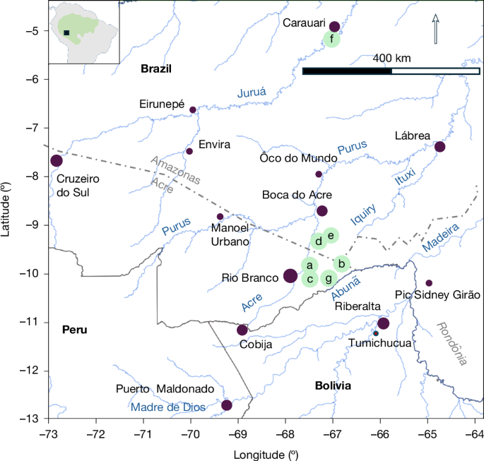
A study using canopy-penetrating LiDAR has expanded the known distribution of precolonial earthworks in southwestern Amazonia. The researchers tentatively estimate that the region’s population reached between 1.25 million and 3 million people around AD 100–300, although the estimate depends on evidence from a limited survey area.

Read story
Domestic Buildings and Workshops Found Near Memphis Temple
02
Ancient Civilizations
Score 40

Domestic Buildings and Workshops Found Near Memphis Temple

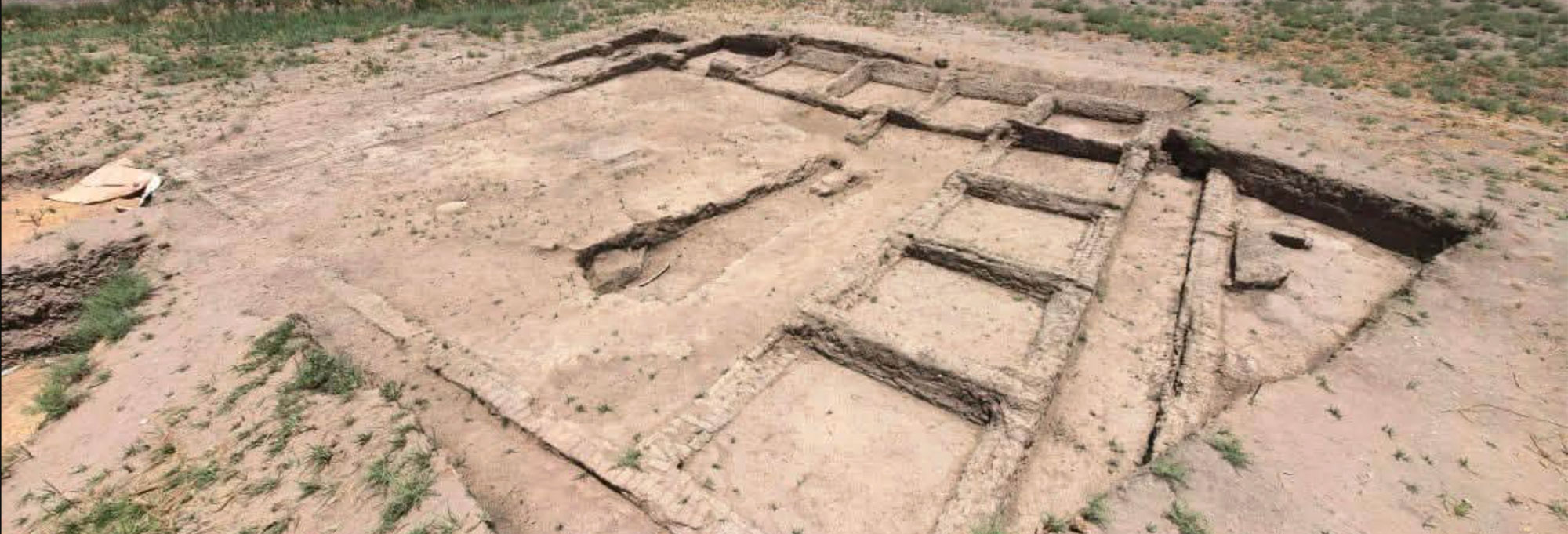
A joint Egyptian-Chinese team has uncovered adobe buildings, workshops, and a possible winepress near the Temple of Sekhmet in Memphis. Ceramics, faience amulets, and votive plaques may indicate that religious activity continued there into the Greco-Roman period.

Read story
Roman Shipwreck Carrying Hundreds of Amphorae Found off Sicily
03
Underwater Archaeology
Score 40

Roman Shipwreck Carrying Hundreds of Amphorae Found off Sicily

Italy’s Carabinieri cultural heritage protection unit has located a Roman shipwreck about three miles off Mazara del Vallo, Sicily. The approximately 2,100-year-old vessel contains around 500 amphorae, along with parts of anchors, and will undergo further scientific documentation.

Read story
Skeleton Found Inside Giant Roman Jar at Bulgarian Fortress
04
Bioarchaeology
Score 40

Skeleton Found Inside Giant Roman Jar at Bulgarian Fortress

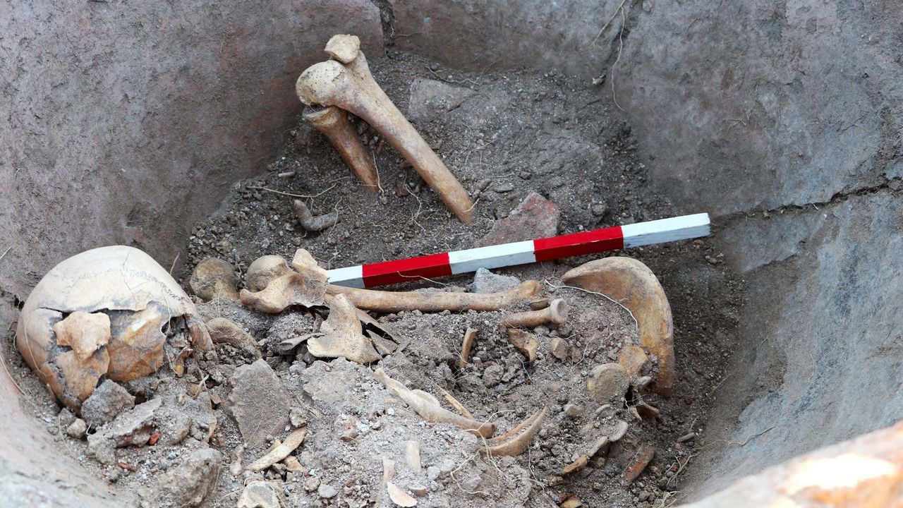
Archaeologists excavating the Roman colony of Deultum in Bulgaria found a human skeleton inside a large storage jar, or dolium. The remains may belong to a young man who sought shelter during an attack and fire around A.D. 400, but researchers have not yet established how he died.

Read story
Denmark’s Largest Known Viking Age Silver Hoard Found in a Backyard
05
Artifacts
Score 40

Denmark’s Largest Known Viking Age Silver Hoard Found in a Backyard

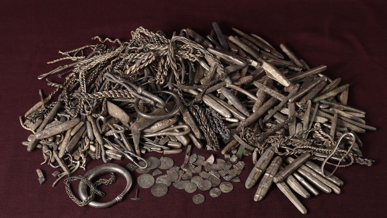
A homeowner in Rebild discovered about 18.5 kilograms of silver while preparing a terrace. The roughly 1,100-year-old hoard contains around 700 objects, including coins, bars, jewelry and a small Thor’s hammer, and is nearly three times larger than Denmark’s previous largest known Viking Age silver hoard.

Read story
Fragments Reveal Previously Unknown Fourth-Century Roman Law Book
06
Artifacts
Score 40

Fragments Reveal Previously Unknown Fourth-Century Roman Law Book

A University of Cincinnati scholar and the Penn Museum have joined 50 animal-skin fragments into a double-sided page from a late-fourth-century Roman legal text. The Latin manuscript discusses taxation and public infrastructure but does not match any previously known imperial legal code.

Read story